Meet our innovations Precipitable water vapour monitoring
By GReD (Geomatics Research & Development)

A tool for monitoring the temporal and spatial variability of precipitable water vapour (PWV) at a local scale.
Precipitable water vapour (PWV) at local scale can be a precursor of rainfall. Local-scale amount of PWV at a height of 1 km increases from about 30 minutes to 1 hour before the formation of rain drops because of the ground surface convergence process. That is why PWV is useful to be assimilated into numerical weather prediction models, to enhance the forecasting of deep convection that may result in heavy rainfall.
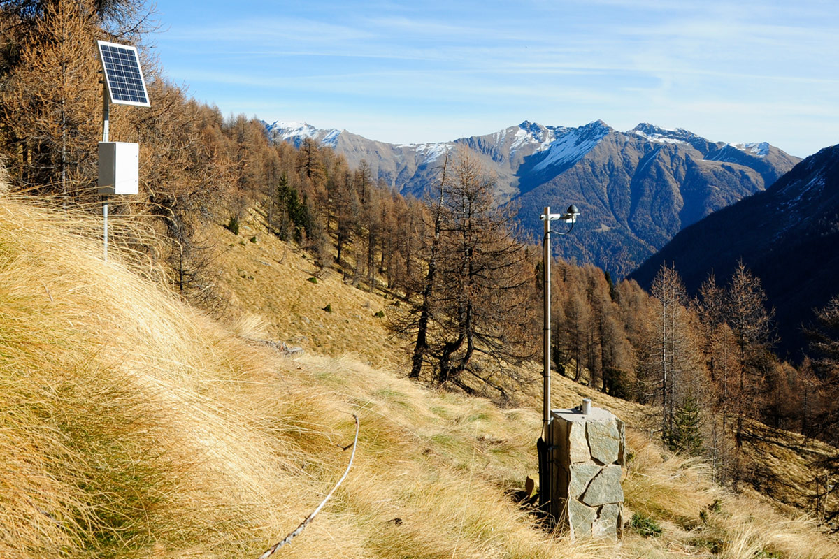
The innovation provides new technology for the reliable and continuous water vapour monitoring with high horizontal resolution. It is based on low-cost single-frequency (SF) Global Navigation Satellite Systems (GNSS) receivers, designed and developed by Geomatics Research & Development s.r.l. (GReD). These units will be produced and deployed in BRIGAID planned test sites (Rotterdam and Monterosso al Mare), and will provide the raw GNSS data needed for PWV retrieval.
Further integration of the PWV product with high-resolution radar data in cities will be tested in order to enhance the monitoring and forecasting of small scale extreme rain storms and related pluvial floods in cities. The GNSS units can also be used to detect the deformation and movements of the ground (e.g. landslides, subsidence) and critical infrastructure (e.g. dams, bridges, high voltage towers …) and are designed to be able to operate under all weather conditions. They have already been tested in operational environments for more than a year.
